Land is turned into lakes
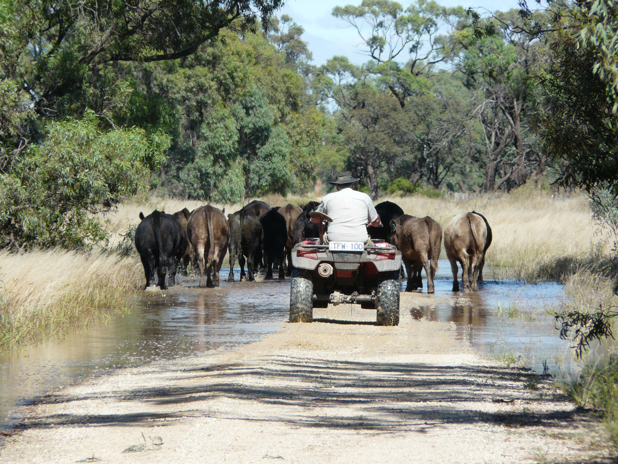
The Fentons move their cattle to higher ground as floodwaters approach their Dingwall farm. PHOTO: SANDRA GODWIN/The Weekly Times
IT could have been any warm summer's day at Dingwall, west of Kerang.
Yesterday, the sun was shining in an azure sky and the birds and frogs were warbling with joy.
Rain has given the landscape a freshly-washed look and there are lakes everywhere you turn.
But there's something wrong with this postcard-like picture.
The lakes have never been there before and they're migrating across the land towards Kerang and the Murray River.
Colin and Mary Fenton and their son, Darren, were moving the family's 80 cows and calves out of the water to a neighbour's yards, walking them along 6km of winding dirt road and through several large puddles.
Mary, who's been on the farm for 43 years, said she'd never seen anything like it.
Colin said the closest he'd heard of was the 1932 floods his father told him about.
"It's probably bigger than we've ever seen," Colin said. "It would be true to say it's bigger than anyone alive has seen. When it gets to Benjeroop and the Murray, that's where the pressure's going to hit. Possibly three-quarters of our irrigation country is under water and the cattle are standing in water. I've lost a couple of cows and some calves ... we have to get them out before it gets much higher."
Mary said she was gobsmacked by the volumes of water.
A neighbour's house had been inundated and a flood evacuation notice issued for their area.
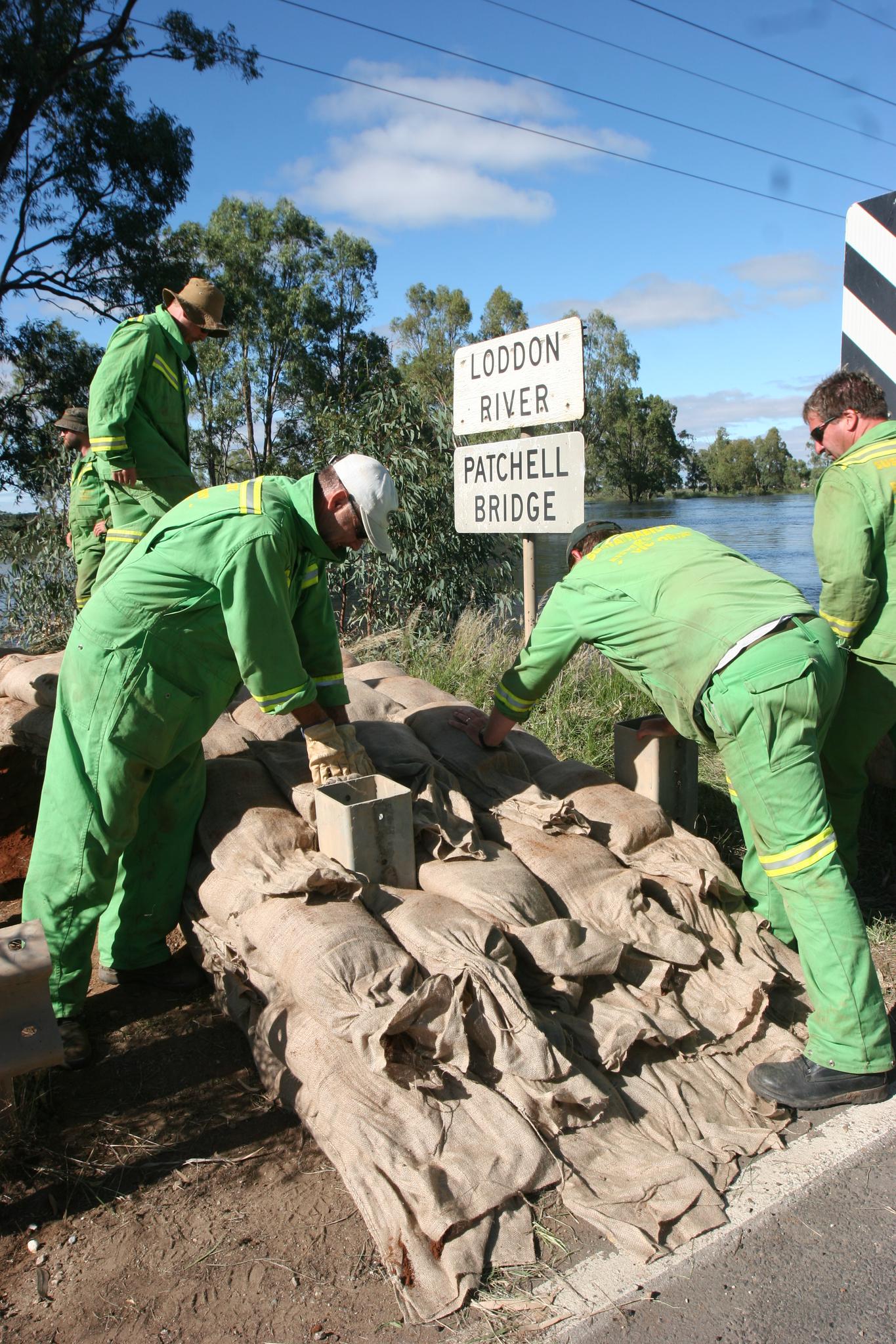
Volunteers and Sustainability Victoria staff stack sandbags across the Patchell Bridge at Kerang to protect the town from rising floodwaters. PHOTO: SANDRA GODWIN/The Weekly Times
